
A Cloud That Stunned Satellites
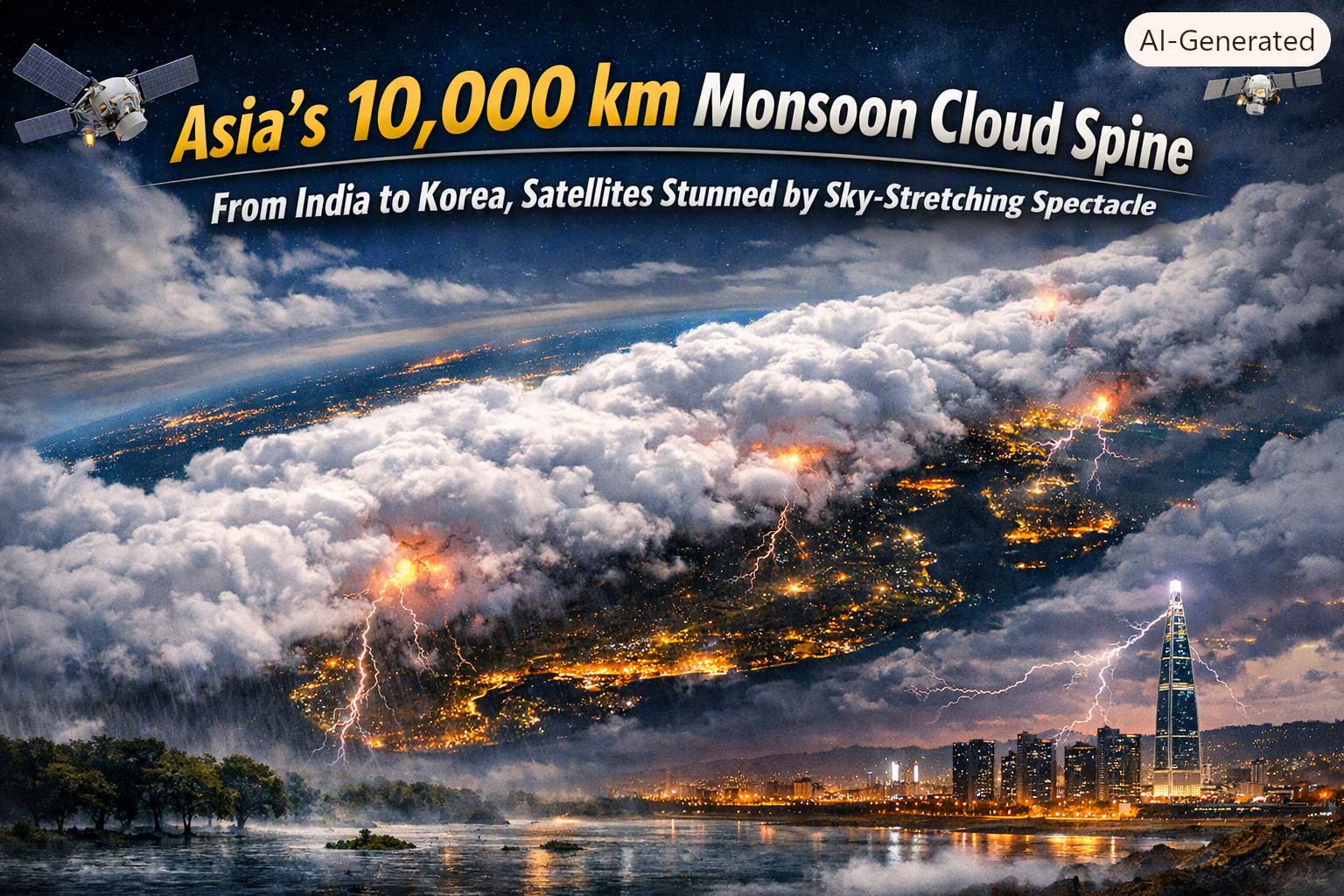
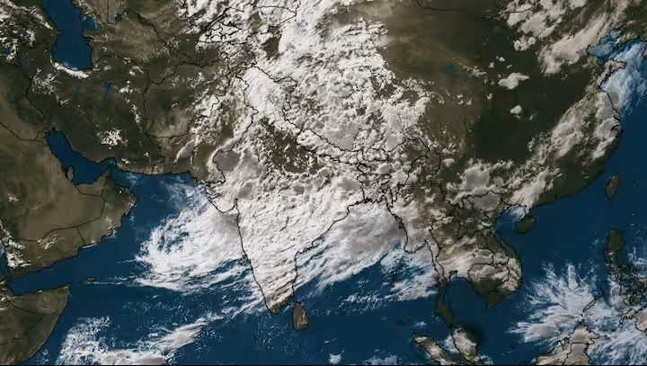
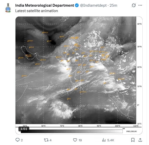
Recently, a satellite image went viral showing what looked like a 10,000-kilometre-long cloud band stretching from India all the way to South Korea. At first glance, it appeared to be a single massive cloud, but in reality, it was thousands of cumulonimbus clusters merging under favourable atmospheric conditions. This illusion sparked global curiosity: Was this a sign of a bumper monsoon?
The Science Behind the Giant Cloud Belt
Monsoon Convergence Zone: The phenomenon occurs when moist winds from different directions collide and rise vertically, forming thick clouds and heavy rainfall.
South Asian Monsoon: Moisture from the Arabian Sea, Bay of Bengal, and Indian Ocean fuels rains across India, Pakistan, Nepal, Bhutan, Bangladesh, and Sri Lanka.
East Asian Monsoon: Separate but interconnected, this system draws moisture from the South China Sea and western Pacific, bringing rains to China, Taiwan, Korea, and Japan.
Summer Heat Trigger: Intense heating over the Tibetan Plateau creates low‑pressure zones, pulling in moisture‑laden winds that rise against the Himalayas, condense, and spread eastward.
Together, these systems weave a continuous rain belt across Asia, visible from space as a colossal cloud stretch.
Why It Matters: Rain or Ruin?
Positive Signs:
Strong monsoon circulation
High atmospheric moisture content
Active low‑pressure systems
Better soil moisture, improved sowing, fuller reservoirs, and boosted hydropower
Risks Ahead:
Flash floods and urban flooding
Soil erosion
Red alerts already issued in parts of India (Rajasthan, Gujarat, Maharashtra)
The El Niño & Indian Ocean Dipole Factor
Scientists caution that while the cloud belt is a positive indicator, it doesn’t guarantee bumper rainfall.
Super El Niño: Often linked to droughts, though this year’s impact may be weaker than feared.
Indian Ocean Dipole (IOD): A positive IOD (warmer western Indian Ocean, cooler eastern side near Indonesia) favours rainfall, while a negative phase suppresses it.
Thus, the final outcome depends on how these global climate drivers interact with regional monsoon dynamics.
Why Extreme Rain Despite El Niño?
Recently, India saw 170–180% above-normal rainfall in just two days, despite forecasts of below-average rains due to Super El Niño. Here’s why:
El Niño impacts seasonal rainfall trends, not daily events.
Local factors like monsoon trough orientation, Bay of Bengal depressions, and Indian Ocean Dipole fluctuations drive short-term rainfall bursts.
Thus, even under El Niño, an active trough can unleash cloudbursts, flash floods, and landslides.
Long-Term Outlook: Below Average Rainfall
The India Meteorological Department (IMD) predicted rainfall at 92% of the Long Period Average (LPA) this year.
LPA = 87 cm (average monsoon rainfall over 50 years).
92% of LPA ≈ 79–80 cm, meaning below-average rainfall overall.
Yet, isolated events like the recent deluge highlight the volatile nature of monsoon variability.
Disaster Management: The Way Forward
With monsoon variability intensifying, India faces rising risks of flash floods, cloudbursts, and landslides. Solutions lie in:
Technology-driven forecasting for vulnerable regions.
Infrastructure resilience to withstand extreme rainfall.
Community awareness and preparedness to minimize loss of life and property.
The Verdict
This 10,000 km monsoon cloud is both a marvel and a warning. This monsoon cloud spine is a reminder of how interconnected weather systems are across Asia. While Super El Niño may weaken seasonal rainfall, the monsoon trough remains the true driver of India’s rain drama, capable of both nourishing crops and unleashing disasters.
It showcases the raw power of atmospheric circulation, promising abundant rains but also raising the spectre of floods. Agriculture, water resources, and energy may benefit, but the risks of extreme weather loom large.
Asia’s skies have spoken; now it’s time to see how the land responds.
Written by
Samar PrakashDiscussion (0)
Sign in to join the discussion.
Loading comments…