
Why This Move Matters
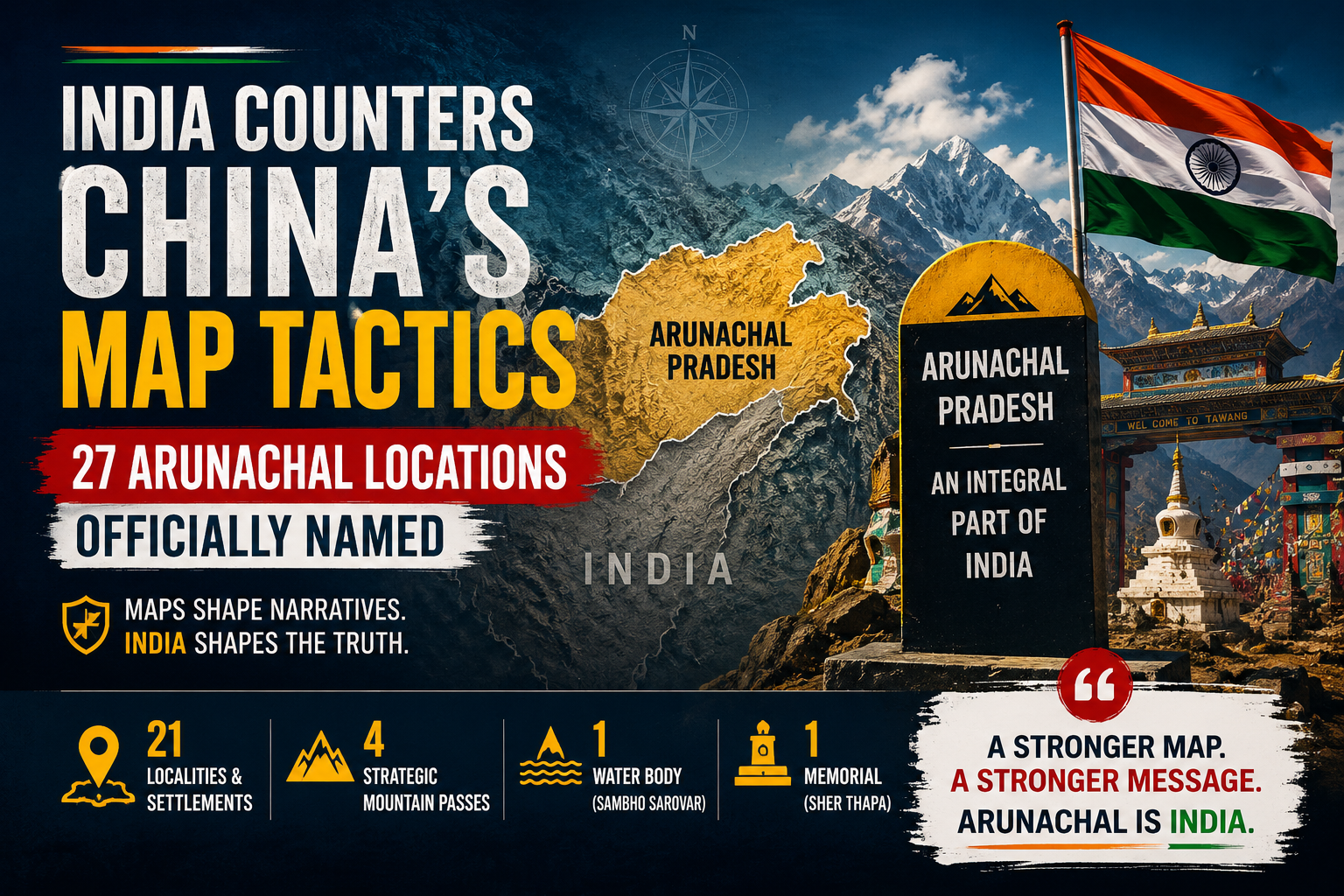
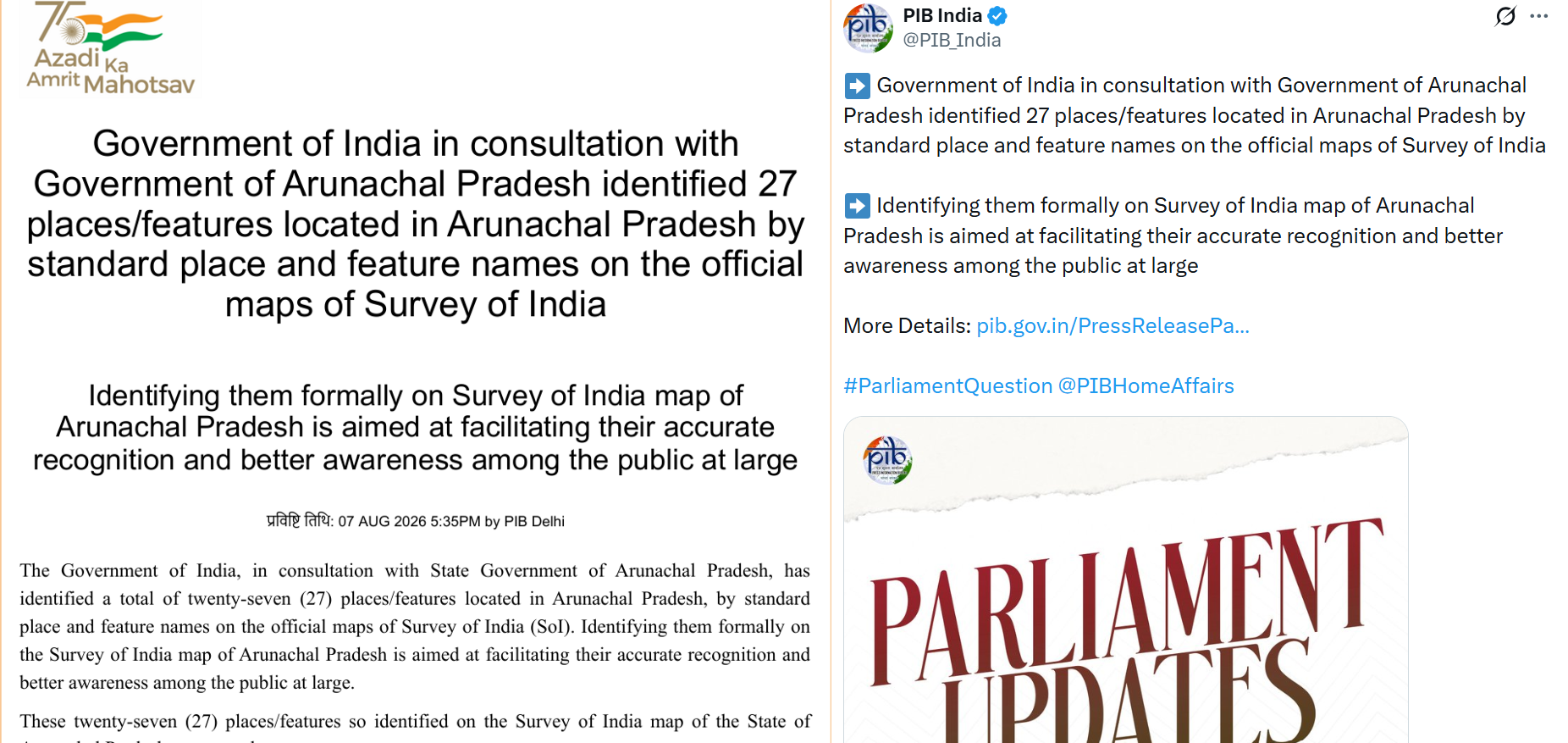
For years, China has repeatedly renamed places in Arunachal Pradesh, attempting to project the region as “South Tibet.” Each renaming was more than symbolic; it was part of Beijing’s cartographic warfare, a strategy to normalize territorial claims through maps and nomenclature.
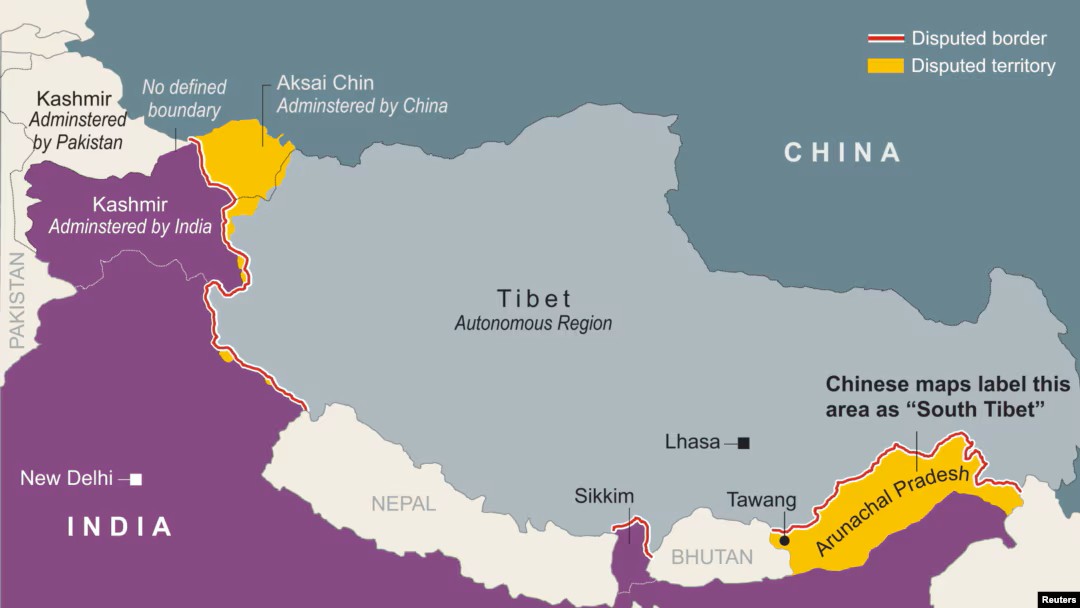
India has now struck back. By officially recording 27 locations in Arunachal Pradesh under their Indian names in the Survey of India map, New Delhi has reinforced its territorial narrative and sent a clear geopolitical signal: Arunachal Pradesh is an integral, inalienable part of India.
What Are These 27 Officially Identified Locations in Arunachal Pradesh?
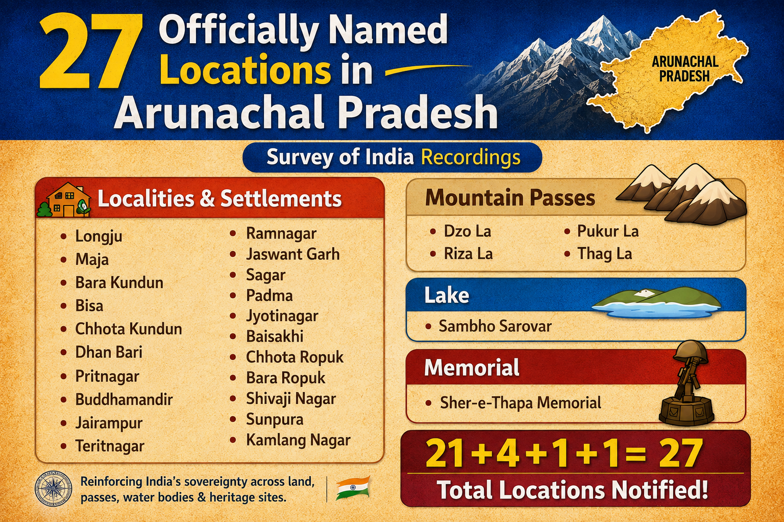
India has formally recognized 27 distinct sites in Arunachal Pradesh on the Survey of India map, grouped as follows:
21 Localities & Settlements: – Longju (historically significant), Maja, Bisa, Bara Kundun, Chhota Kundun, Dhan Bari, Pritnagar, Buddhamandir, Jairampur, Teritnagar, Ramnagar, Jaswant Garh, Sagar, Padma, Jyotinagar, Baisakhi, Chhota Ropuk, Bara Ropuk, Shivaji Nagar, Sunpura, and Kamlang Nagar.
4 Strategic Mountain Passes: Dzo La, Riza La, Pukur La, and Thag La(linked to the 1962 war).
1 Water Body: Sambho Sarovar, a lake of regional importance.
1 memorial (Sher Thapa Memorial, honouring soldiers of the 1962 conflict and commemorating India’s military history.)
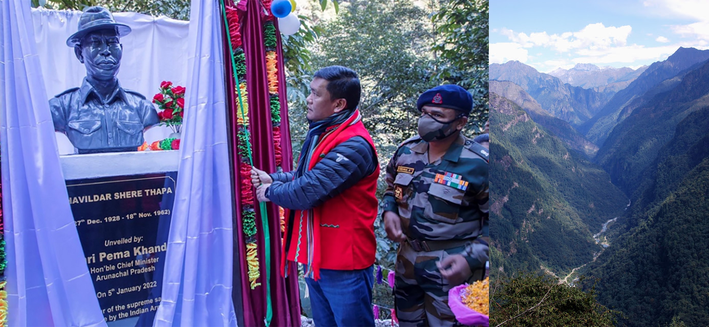
Together, these names reinforce India’s territorial narrative: 21 + 4 + 1 + 1 = 27, marking a comprehensive assertion of sovereignty across land, passes, water, and heritage sites.
By including not just land but also water bodies and memorials, India has broadened its territorial database, strengthening historical and cultural claims.
🧭 Role of the Survey of India
The Survey of India is the nation’s official mapping authority, entrusted with producing precise and standardized maps that define India’s geography and boundaries. It ensures every political, state, and geographical feature is accurately represented, giving institutional legitimacy to the country’s territorial data.
⚔️ Cartographic Warfare Explained
This isn’t just about names; it’s about narratives.
China’s strategy: Rename Arunachal repeatedly for domestic messaging, administrative normalization, and international signaling.
India’s counter: Assert official Indian names in maps, government records, and databases, ensuring that over time these names become part of the global territorial narrative.
This battle of maps is a subtler form of geopolitical competition, less about tanks and missiles, more about cartography and perception.
The Geopolitical Context
China claims the entire 90,000 sq. km area of Arunachal Pradesh, calling it “Zangnan” (South Tibet). India rejects this outright, citing the McMahon Line of 1914 as the legitimate boundary.

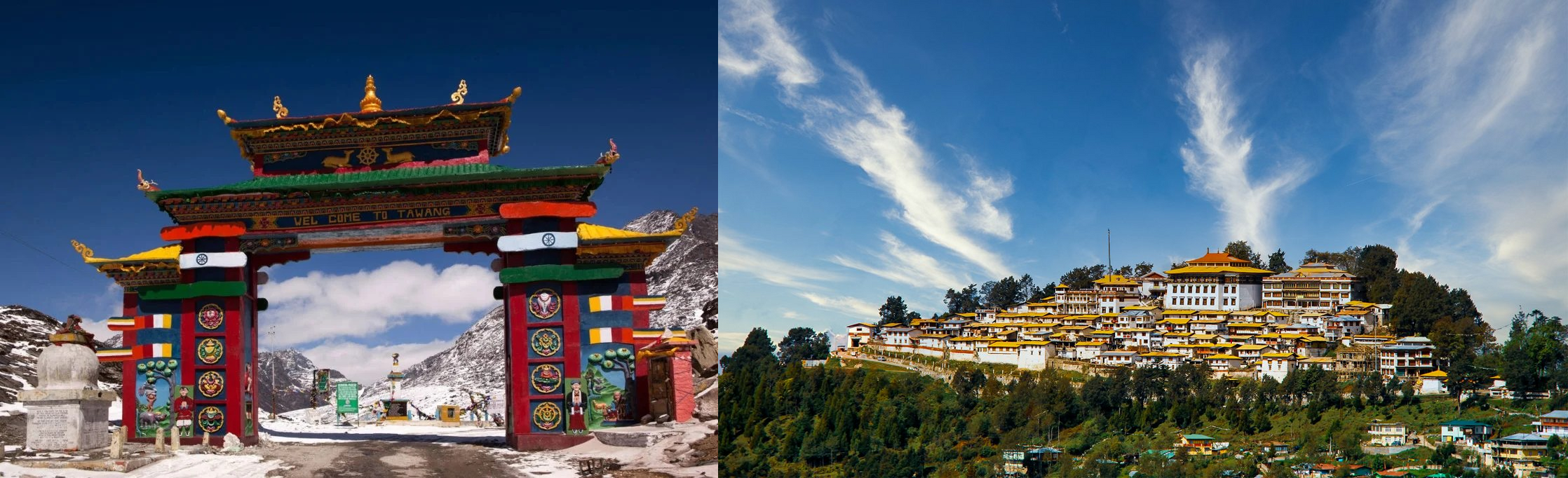
The dispute is most sensitive in Tawang, a district with deep Buddhist significance, home to the Tawang Monastery and birthplace of the Sixth Dalai Lama. For Beijing, Tawang is both a cultural and strategic flashpoint.
Why India’s Move Is Powerful
By embedding these names in the Survey of India map, the country’s official mapping authority, India ensures that:
Any international request for boundary data reflects Indian nomenclature.
Historical memorials and battlefields are preserved as proof of India’s presence.
The narrative of Arunachal as Indian territory is reinforced globally.
India’s cartographic assertion is more than a bureaucratic exercise; it’s a reminder that maps shape geopolitics.
👉 Follow updates on India-China border disputes. Spread the word about Arunachal’s cultural and historical significance. Discuss how cartographic warfare is reshaping modern geopolitics.
Written by
Vedant BhardwajDiscussion (0)
Sign in to join the discussion.
Loading comments…